Basic map type
The background of the basic map type resembles the maps used in road atlases.
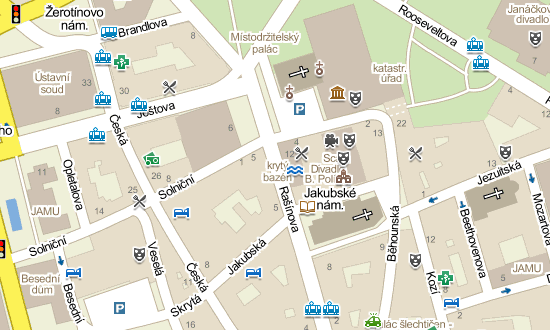
It contains a schematically simplified representation of the road network together with the basic landscape differentiation and various POIs (points of interest).
The basic map type also includes detailed transit plans of cities and towns, showing one-way streets, traffic lights and other traffic signs. Please, see the map legend to view the list of all the objects displayed on the map.
For each zoom level (zoom range from states to addresses) there is a separate map type. Data for the territory of the Czech Republic and Slovakia come from the cartographic editorial office of Mapy.cz. The maps for the rest of the world are generated from www.openstreetmap.org.
Updates
The basic map type is usually updated once a week for the territory of the Czech Republic and Slovakia; once a month for the rest of the world).
Our cartographic editorial staff strives to keep the maps permanently up-to-date. However, since there are more than 15,000 houses and 12,000 flats built in the Czech Republic annually, not to mention newly built roads and other buildings, we are not able to keep the maps in perfect shape despite all our efforts. If you find any errors in representation or location-naming on our maps, please report the error. The cartographic editor will correct the error within a few days.
Use of map types
For more information on how to use the basic map type, please see the licence conditions.