Geographic map
Geographic map type displays a typical geographic map with shading and color hypsometry that best describes the relief of the Earth's surface. In addition to our other maps, it also contains meridians and parallels.
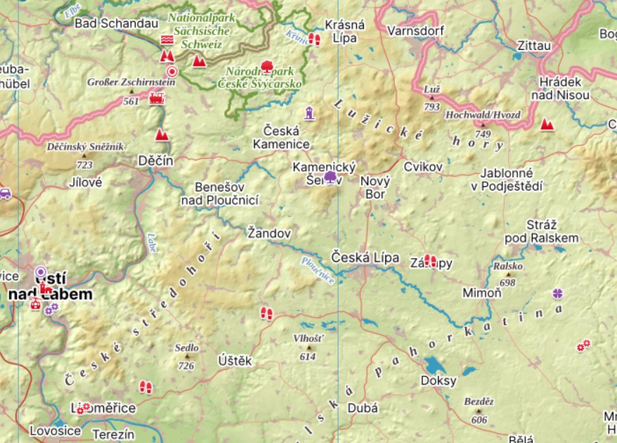
The map serves as a basis for an interactive layer of POIs (points of interest) naming records and curiosities in the Czech Republic and partly in Slovakia and throughout Europe. You can easily find the highest mountains or buildings, the oldest buildings or the largest stadiums.
Geographic map can be used as a study aid for geography or history, because it accurately locates individual phenomena and enables their search. In addition, objects in each category are linked to each other, making it easy to switch between them.For detailed information on specific map markers on the map, see the map legend.