My Maps
The function My Maps (previously called Backpack) allows you to save your favourite routes or places, your activities and photos. After logging in, all of your saved data will be accessible at any time, either on the website or in the mobile app.
More information on Places and Routes Tab »
More information on the Activity Tab »
More information on the tab Photos »
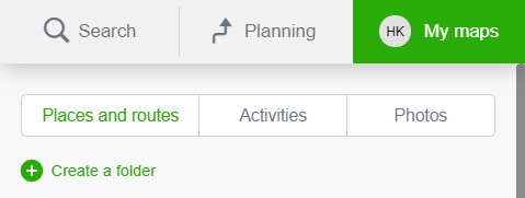
Places and Routes
Under the tab Places and Routes you can create folders and subsequently save there your measurements, planned routes and activities taken. It is also possible to save your home and work address here, for faster and more comfortable route planning.More information on Places and Routes Tab »
Activities
Under the tab Activities all of the routes that have been tracked via the Tracker function in the mobile app are saved automatically. Activities can be classified according to the season or type of transport.More information on the Activity Tab »
Photos
Under the tab Photos, you can add your photographs on the map. If you have added some pictures previously, you can access them from here.More information on the tab Photos »