Aerial map type
The aerial map type consists of a combination of satellite and aerial imagery.
For a small zoom on global level (zoom 2-8), the satellite image from NASA Blue Marble Next Generation is used.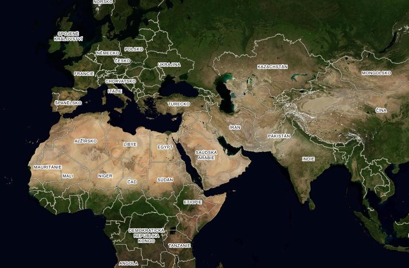
When zooming in outside of the territory of the Czech and Slovak Republic, a mosaic of Landsat 7 satellite imagery is used.
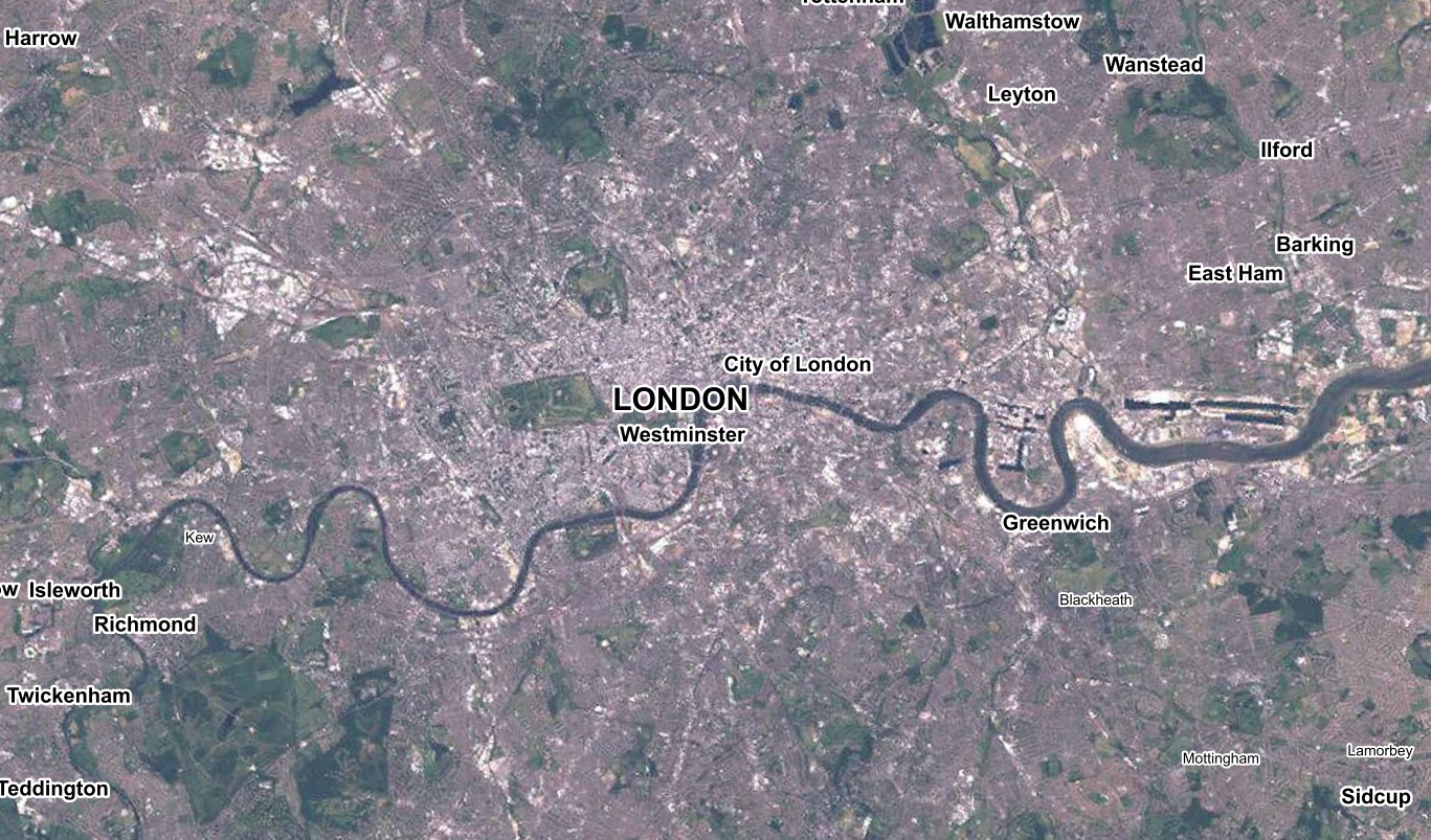
An orthophoto from an aerial photography is used on the territory of the Czech Republic and its border areas. The images are taken each year with a resolution of 12,5cm/pixel, comprising 1/3 of the area. The whole territory of the Czech Republic is thus updated every three years.
In addition to the current aerial images, it is also possible to view archived images that were taken in years 2016 and 2018 (Aerial Map 18'),2014 and 2015 (Aerial Map '15'), 2010-2012 (Aerial Map '12'), 2004-2006 (Aerial Map '06') and 2001-2003 (Aerial Map '03'). 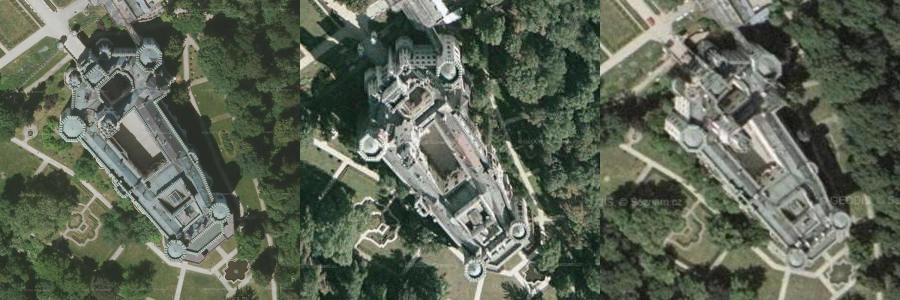
3D view
By clicking the "3D view" button you can also view the aerial maps in 3D. Click this button again to go back to the classic view.More information about 3D view »
Use of map types
For more information on how to use the aerial map type, please see the licence conditions.