Cadastral data
For each type of map it is possible to turn on the additional layer "Cadastral data". This layer is only available over the territory of the Czech Republic.
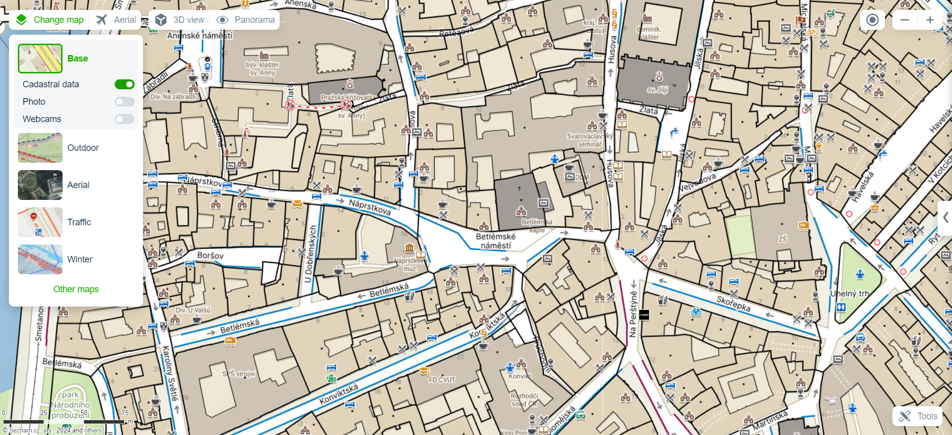
In smaller map scales you will find territorial regional units, in detailed scales individual parcels.
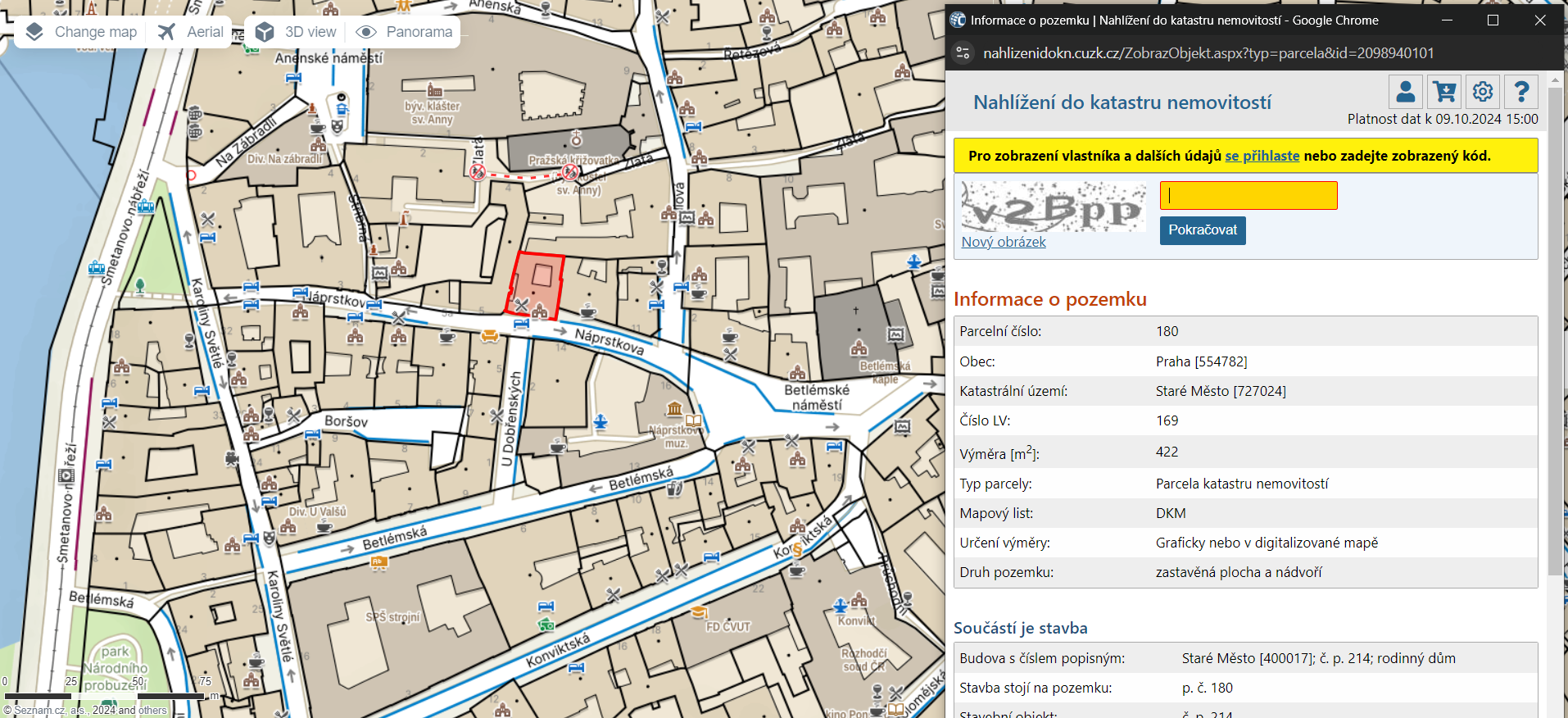
After clicking on each parcel user will learn detailed information about parcel in a newly opened window, we use the "Viewing the Land Registry" module from ČÚZK.
In smaller map scales you will find territorial regional units, in detailed scales individual parcels.
After clicking on each parcel user will learn detailed information about parcel in a newly opened window, we use the "Viewing the Land Registry" module from ČÚZK.